Location: 41.83600°N 71.37976°W
Get Directions
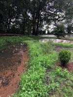
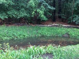
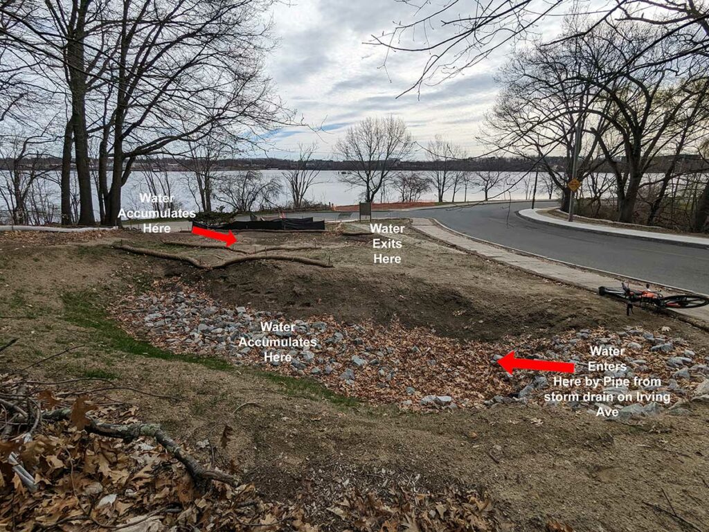
Site Description: This site is located in the Blackstone neighborhood of Providence, near York Pond along Irving Ave. Stormwater enters a vegetated and grassy depression called an infiltration basin through a storm drain on Irving Ave. Stormwater flows from the storm drains by an underground pipe, into the infiltration basin. During rain events, the basin fills up with water. The soil in the basin acts as a filter to clean the stormwater. If the basin reaches full capacity, excess stormwater is relieved through an overflow within the basin. After a rainstorm, the stormwater captured in the basin should be absorbed into the soil within 24-48 hours.
Photo-Video Tips: To take photos or videos, stand near the storm drain on Irving Ave. Verify that stormwater is entering into the storm drains. Additionally, you can capture footage of the stormwater filling up in the infiltration basin itself and verify that the site is draining properly. These shots will help confirm that the system is working as intended.
Observation on 9/10/2023: 2:05pm -
How recently did it rain: Raining at the time
How heavy was that rain: Moderate Rain
Is anything preventing water from flowing into the system (e.g., debris, trash, vegetation): No
Is there standing water in the system: Yes
Observation on 7/10/2023: 1:00pm -
How recently did it rain: Within the last hour
How heavy was that rain: Heavy Rain
Is anything preventing water from flowing into the system (e.g., debris, trash, vegetation): No
Is there standing water in the system: Yes
Notes/Comments:
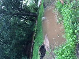
At the time these videos and photos were taken, it had heavily rained for about an hour and a half, but the rain had slowed down. Because of this, it was unclear whether runoff was properly flowing into the storm drain, but we can assume it was because the forebay and infiltration area were both full. The water level in the infiltration basin had almost reached the overflow drain, but not quite. It is unclear whether it was because of this rain event, or because of a recent extremely heavy storm over the July 4th holiday, but it appears that planted material in the weir area had slid into the infiltration area, leaving a large pile of sediment/soil which is visible in the recording.


Observation on 7/10/2023: 11:56am -
How recently did it rain: Raining at the time
How heavy was that rain: Heavy Rain
Is anything preventing water from flowing into the system (e.g., debris, trash, vegetation): Partially
Is there standing water in the system: Yes
Notes/Comments:
Much flow bypassing the catch basin. Also there is a manhole in the roade blowing out water

