Location: 41.83573°N 71.38063°W
Get Directions
How recently did it rain: Within the last hour
How heavy was that rain: Heavy Rain
Is anything preventing water from flowing into the system (e.g., debris, trash, vegetation): Partially
Is there standing water in the system: Yes
Notes/Comments:
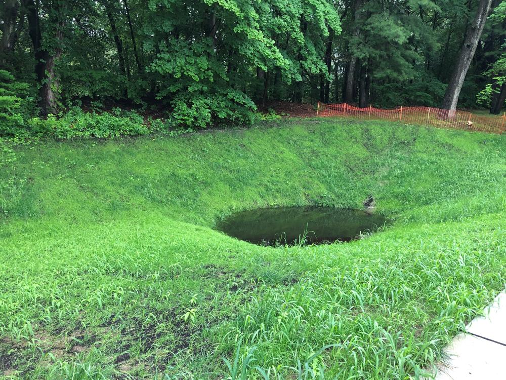
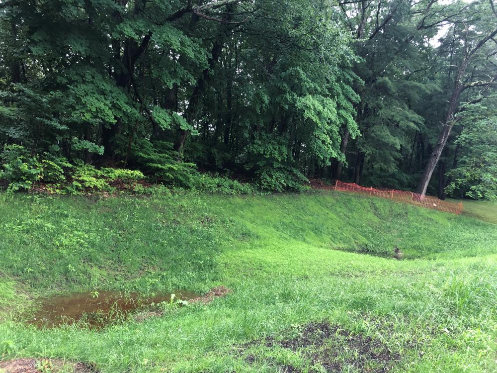
The storm drain had a partial clog of leaves and trash. It is unclear whether it’s because of this (seems unlikely), but neither the forebay area nor the infiltration area seemed particularly full compared to the downstream Irving Ave site. Both depressions are very deep but were only partially full – it did not seem like the water level had reached the overflow drain at all.
Images and Videos
Weather Data
Precipitation Data from nearby CoCoRaHS stations:
| 7/9/2023 | 0.00” at station: RI-PR-67 (0.73 miles W) | 0.00” at station: RI-PR-104 (0.95 miles NW) | 0.00” at station: RI-PR-128 (0.96 miles NW) |
| 7/10/2023 | 0.30” at station: RI-PR-67 (0.73 miles W) | 0.07” at station: RI-PR-104 (0.95 miles NW) | 0.06” at station: RI-PR-138 (1.06 miles E) |
Note: CoCoRaHS data is usually collected between 6 and 8am so data listed as being from a given day are actually from 6 to 8am on that day through to 6 to 8am on the following day. Also, stations do not necessarily report every day so a station that has data on one date may not on another.
Precipitation Data from T.F.Green Airport (7.73 miles S)
Rainfall in the hour ending at the time listed.
| 7/9/2023 | 7/10/2023 | |
| 1am | 0” | 0” |
| 2am | 0” | 0” |
| 3am | 0” | 0” |
| 4am | 0” | 0.031” |
| 5am | 0” | 0” |
| 6am | 0” | 0” |
| 7am | 0” | 0.15” |
| 8am | 0” | 0.091” |
| 9am | 0” | 0” |
| 10am | 0” | 0” |
| 11am | 0” | 0” |
| 12am | 0” | 0.142” |
| 1pm | 0” | 0” |
| 2pm | 0” | 0” |
| 3pm | 0” | |
| 4pm | 0” | |
| 5pm | 0” | |
| 6pm | 0” | |
| 7pm | 0” | |
| 8pm | 0” | |
| 9pm | 0” | |
| 10pm | 0” | |
| 11pm | 0” | |
| 12pm | 0 | |