Location: 41.78406°N 71.41208°W
Get Directions
How recently did it rain: 6-24 hours ago
How heavy was that rain: Light Shower
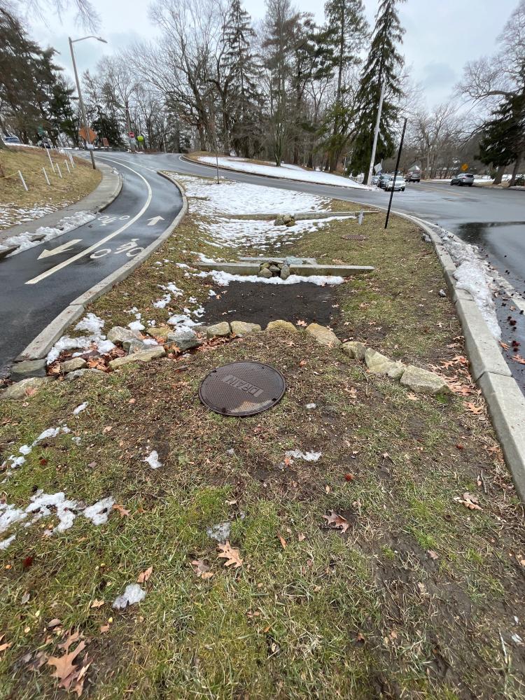
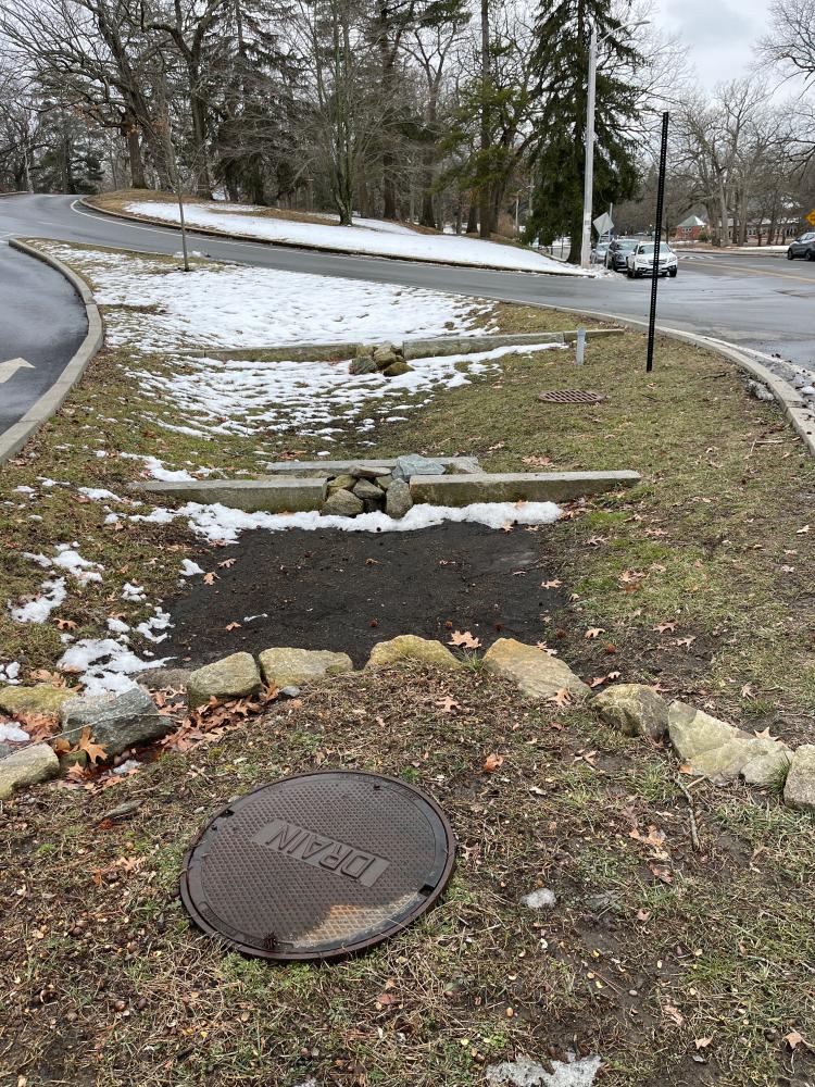
Is anything preventing water from flowing into the system (e.g., debris, trash, vegetation): No
Is there standing water in the system: No
Notes/Comments:
Snow melting. Erosion evidence at rock “wall”
2 days ago, prov parks put pole in (to be yield sign for bikes)
Images and Videos

Weather Data
Precipitation Data from nearby CoCoRaHS stations:
| 2/22/2024 | 0.00” at station: RI-KN-38 (2.25 miles SE) | 0.00” at station: RI-KN-23 (2.53 miles S) | 0.00” at station: RI-KN-65 (2.61 miles SE) |
| 2/23/2024 | 0.09” at station: RI-KN-38 (2.25 miles SE) | 0.07” at station: RI-KN-65 (2.61 miles SE) | 0.08” at station: RI-PR-112 (2.82 miles W) |
Note: CoCoRaHS data is usually collected between 6 and 8am so data listed as being from a given day are actually from 6 to 8am on that day through to 6 to 8am on the following day. Also, stations do not necessarily report every day so a station that has data on one date may not on another.
Precipitation Data from T.F.Green Airport (3.85 miles S)
Rainfall in the hour ending at the time listed.
| 2/22/2024 | 2/23/2024 | |
| 1am | 0” | 0” |
| 2am | 0” | 0” |
| 3am | 0” | 0.012” |
| 4am | 0” | 0.039” |
| 5am | 0” | 0.02” |
| 6am | 0” | 0.012” |
| 7am | 0” | 0” |
| 8am | 0” | 0” |
| 9am | 0” | 0” |
| 10am | 0” | 0” |
| 11am | 0” | 0” |
| 12am | 0” | 0” |
| 1pm | 0” | 0” |
| 2pm | 0” | 0.012” |
| 3pm | 0” | 0.012” |
| 4pm | 0” | |
| 5pm | 0” | |
| 6pm | 0” | |
| 7pm | 0” | |
| 8pm | 0” | |
| 9pm | 0” | |
| 10pm | 0” | |
| 11pm | 0” | |
| 12pm | 0 | |