Location: 41.49284°N 71.24816°W
Get Directions
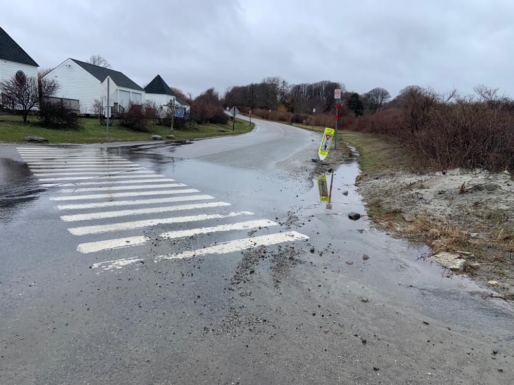
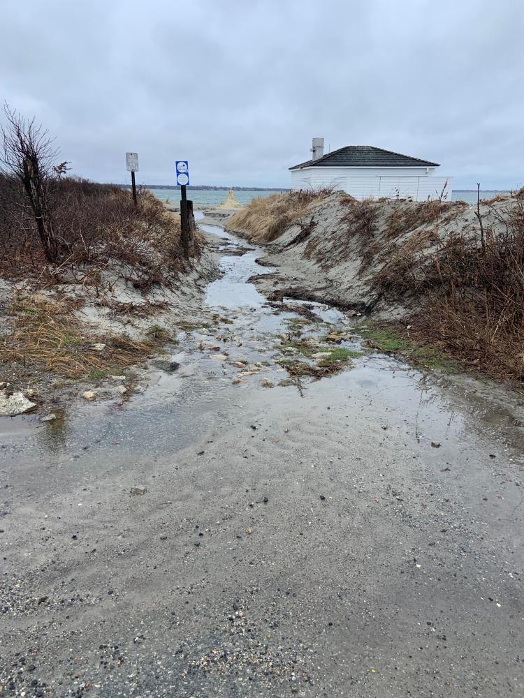
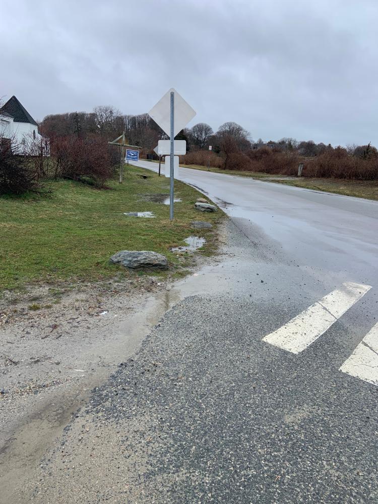
How recently did it rain: Raining at the time
How heavy was that rain: Light Shower
Is anything preventing water from flowing into the system (e.g., debris, trash, vegetation): Unknown
Is there standing water in the system: Yes
Images and Videos
Weather Data
Precipitation Data from nearby CoCoRaHS stations:
| 4/1/2026 | 0.03” at station: RI-NW-43 (1.33 miles NW) | 0.00” at station: RI-NW-44 (1.5 miles N) | 0.00” at station: RI-NW-32 (2.61 miles NE) |
| 4/2/2026 | 0.67” at station: RI-NW-43 (1.33 miles NW) | 0.69” at station: RI-NW-44 (1.5 miles N) | 0.71” at station: RI-NW-32 (2.61 miles NE) |
Note: CoCoRaHS data is usually collected between 6 and 8am so data listed as being from a given day are actually from 6 to 8am on that day through to 6 to 8am on the following day. Also, stations do not necessarily report every day so a station that has data on one date may not on another.
Precipitation Data from T.F.Green Airport (18.89 miles NW)
Rainfall in the hour ending at the time listed.
| 4/1/2026 | 4/2/2026 | |
| 1am | 0” | 0” |
| 2am | 0” | 0” |
| 3am | 0” | 0.012” |
| 4am | 0” | 0.051” |
| 5am | 0” | 0.079” |
| 6am | 0” | 0.012” |
| 7am | 0” | 0” |
| 8am | 0” | 0.091” |
| 9am | 0” | 0.012” |
| 10am | 0” | 0.039” |
| 11am | 0” | 0.012” |
| 12am | 0” | |
| 1pm | 0” | |
| 2pm | 0” | |
| 3pm | 0” | |
| 4pm | 0.012” | |
| 5pm | 0.11” | |
| 6pm | 0.311” | |
| 7pm | 0.071” | |
| 8pm | 0.059” | |
| 9pm | 0.012” | |
| 10pm | 0” | |
| 11pm | 0.031” | |
| 12pm | 0 | |