Location: 41.83573°N 71.38063°W
Get Directions
How recently did it rain: 1-3 hours ago
How heavy was that rain: Heavy Rain
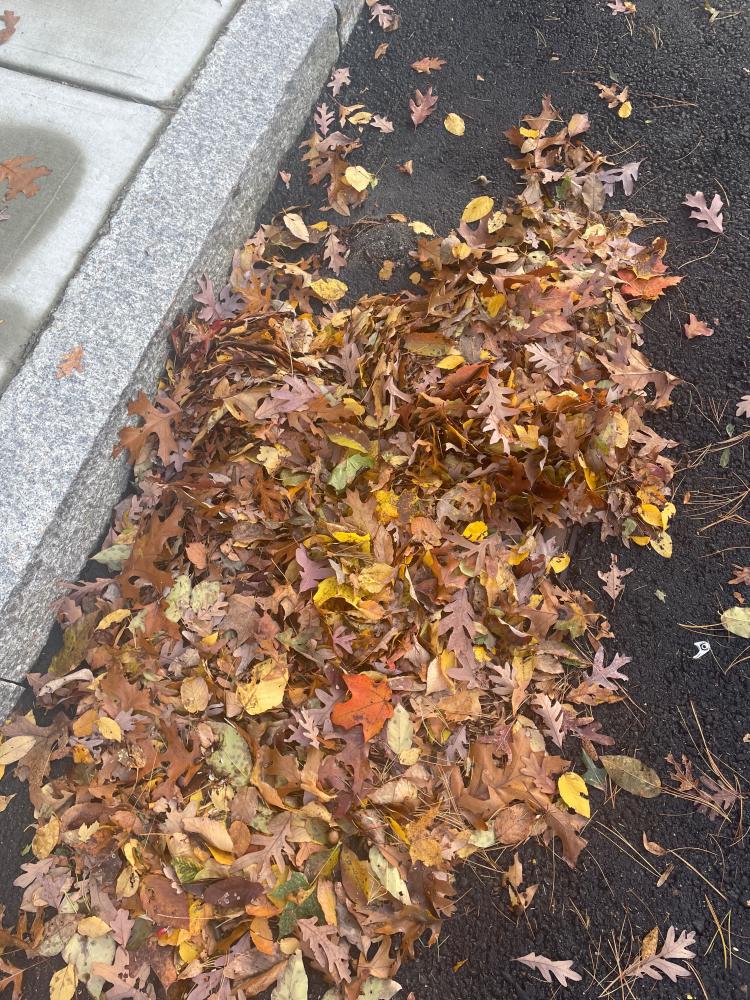
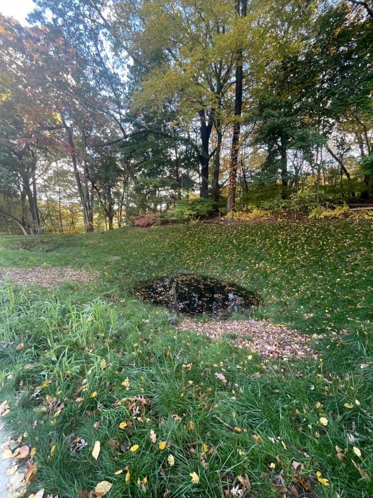
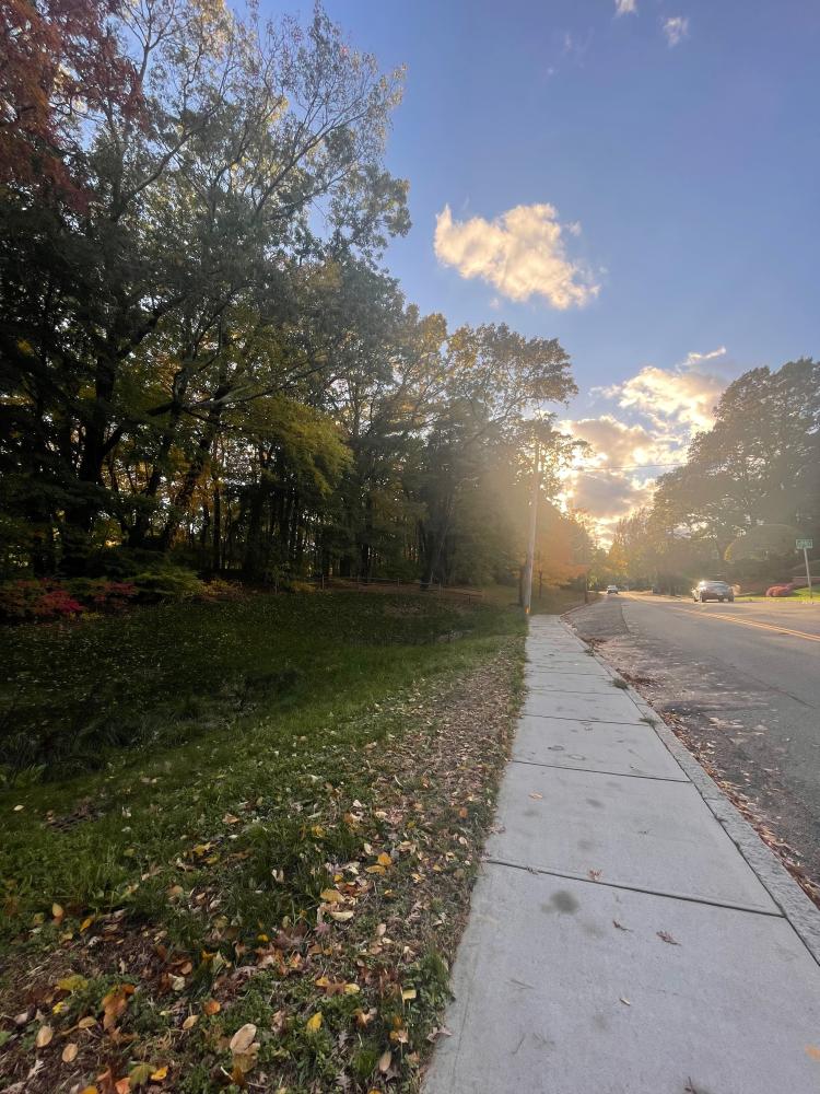
Is anything preventing water from flowing into the system (e.g., debris, trash, vegetation): Yes
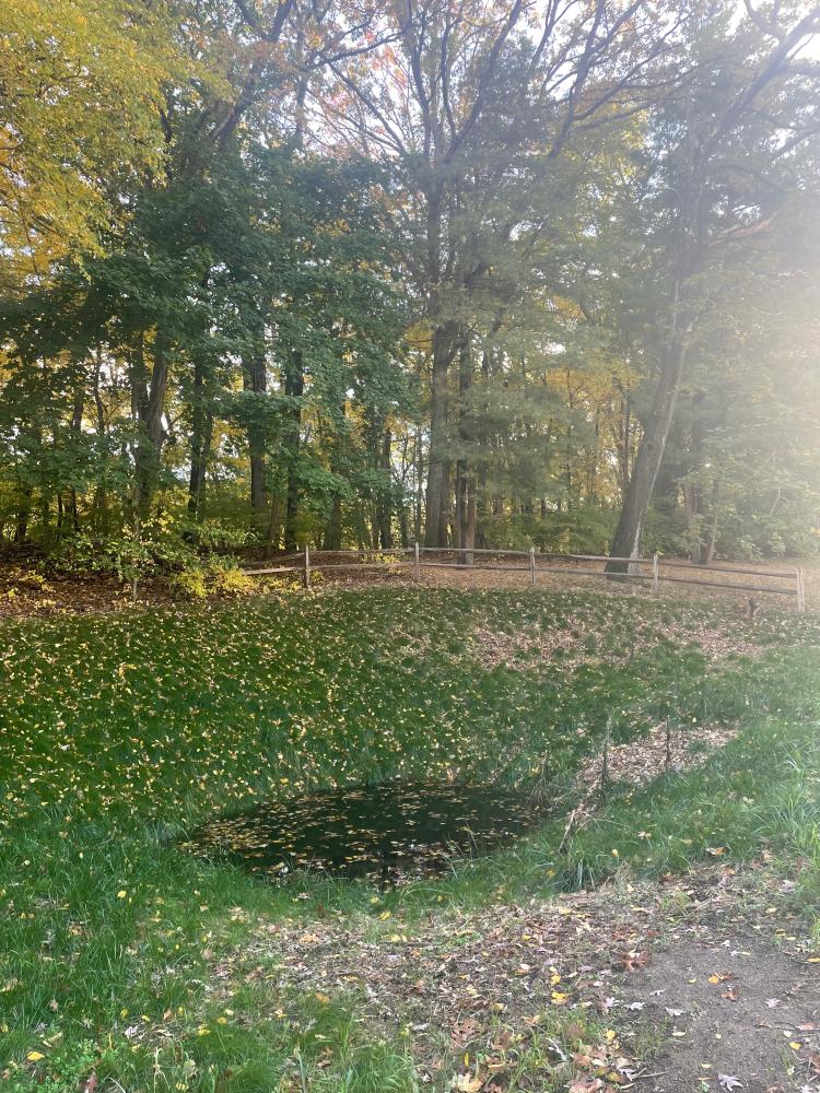
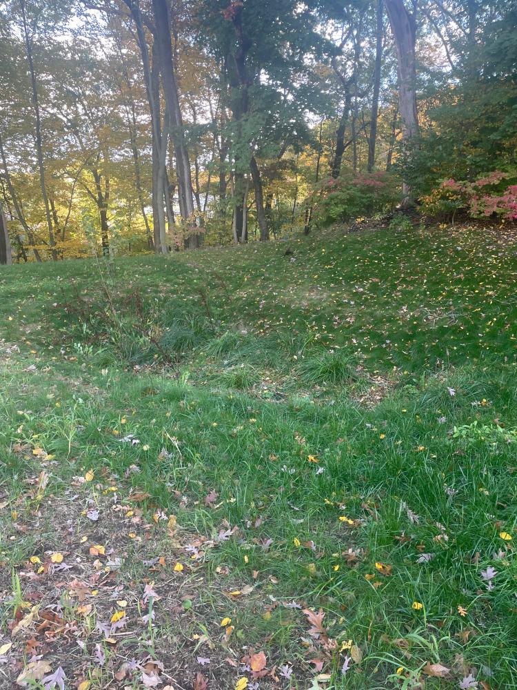
Is there standing water in the system: Yes
Notes/Comments:
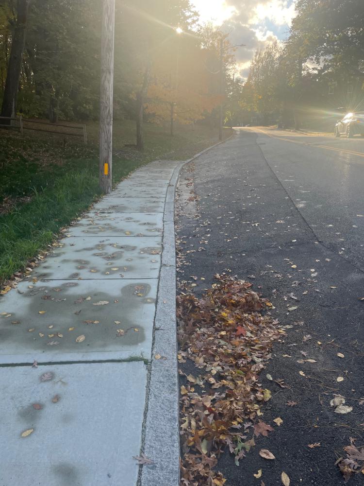
Lots of leaves on top of the drain. No standing water on the surface of the road but in the ditch on the side of the road there is a significant amount of standing water.
Images and Videos
Weather Data
Precipitation Data from nearby CoCoRaHS stations:
| 10/19/2025 | 0.00” at station: RI-PR-67 (0.73 miles W) | 0.00” at station: RI-PR-104 (0.95 miles NW) | 0.00” at station: RI-PR-138 (1.06 miles E) |
| 10/20/2025 | 0.00” at station: RI-PR-143 (0.39 miles S) | 0.00” at station: RI-PR-104 (0.95 miles NW) | 0.00” at station: RI-PR-138 (1.06 miles E) |
Note: CoCoRaHS data is usually collected between 6 and 8am so data listed as being from a given day are actually from 6 to 8am on that day through to 6 to 8am on the following day. Also, stations do not necessarily report every day so a station that has data on one date may not on another.
Precipitation Data from T.F.Green Airport (7.73 miles S)
Rainfall in the hour ending at the time listed.
| 10/19/2025 | 10/20/2025 | |
| 1am | 0” | 0” |
| 2am | 0” | 0” |
| 3am | 0” | 0” |
| 4am | 0” | 0” |
| 5am | 0” | 0” |
| 6am | 0” | 0” |
| 7am | 0” | 0” |
| 8am | 0” | 0” |
| 9am | 0” | 0” |
| 10am | 0” | 0.039” |
| 11am | 0” | 0.201” |
| 12am | 0” | 0.13” |
| 1pm | 0” | 0.051” |
| 2pm | 0” | 0.012” |
| 3pm | 0” | 0” |
| 4pm | 0” | 0” |
| 5pm | 0” | 0” |
| 6pm | 0” | |
| 7pm | 0” | |
| 8pm | 0” | |
| 9pm | 0” | |
| 10pm | 0” | |
| 11pm | 0” | |
| 12pm | 0 | |