Location: 41.502583°N 71.433056°W
Get Directions
How recently did it rain: Within the last hour
How heavy was that rain: Light Shower
Is anything preventing water from flowing into the system (e.g., debris, trash, vegetation): Unknown
Is there standing water in the system: Unknown
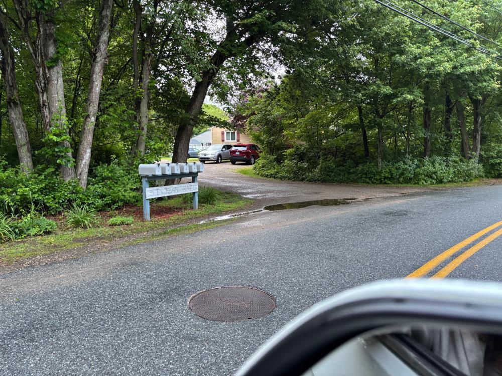
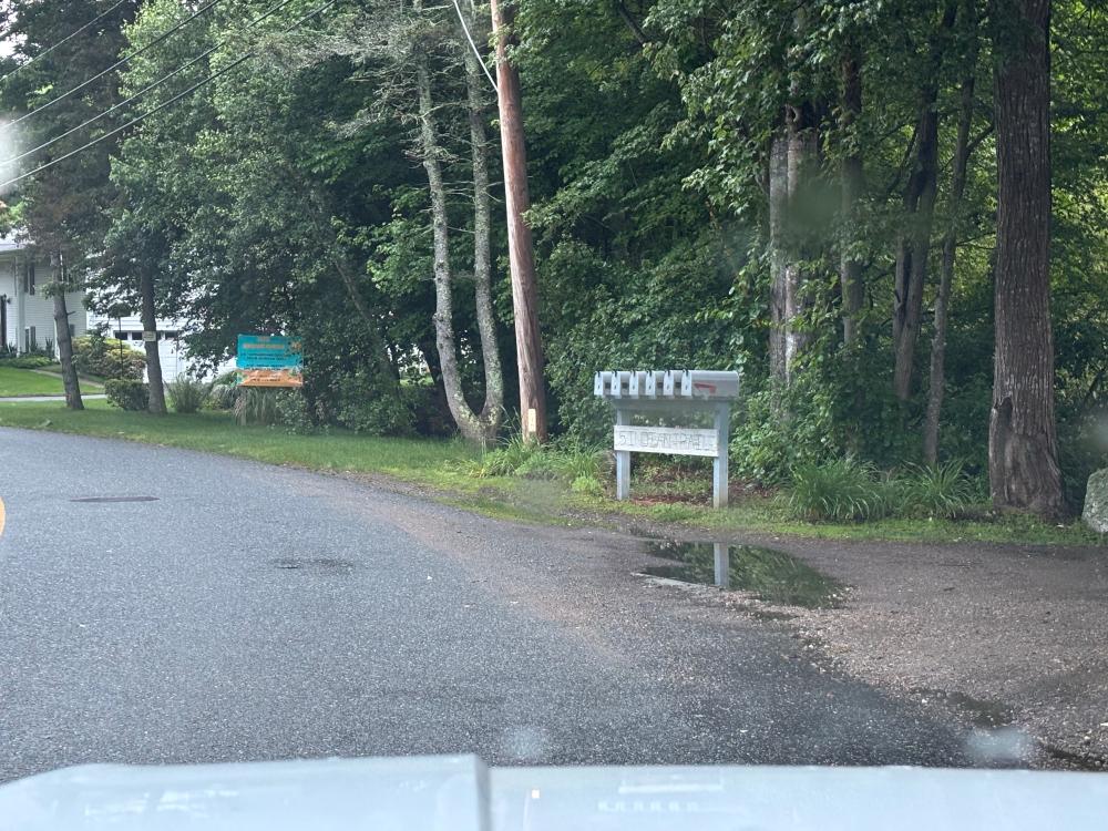
Images and Videos
Weather Data
Precipitation Data from nearby CoCoRaHS stations:
| 6/6/2025 | 0.00” at station: RI-WS-52 (2.22 miles SW) | 0.00” at station: RI-NW-18 (3.41 miles E) | 0.00” at station: RI-NW-30 (3.53 miles E) |
| 6/7/2025 | 0.00” at station: RI-WS-88 (1.26 miles S) | 0.00” at station: RI-NW-18 (3.41 miles E) | 0.00” at station: RI-WS-70 (3.62 miles SW) |
Note: CoCoRaHS data is usually collected between 6 and 8am so data listed as being from a given day are actually from 6 to 8am on that day through to 6 to 8am on the following day. Also, stations do not necessarily report every day so a station that has data on one date may not on another.
Precipitation Data from T.F.Green Airport (15.71 miles N)
Rainfall in the hour ending at the time listed.
| 6/6/2025 | 6/7/2025 | |
| 1am | 0” | 0” |
| 2am | 0” | 0” |
| 3am | 0” | 0” |
| 4am | 0” | 0” |
| 5am | 0” | 0” |
| 6am | 0” | 0” |
| 7am | 0” | 0” |
| 8am | 0” | 0” |
| 9am | 0” | 0” |
| 10am | 0” | 0” |
| 11am | 0” | 0” |
| 12am | 0” | 0” |
| 1pm | 0” | 0” |
| 2pm | 0” | 0” |
| 3pm | 0” | 0” |
| 4pm | 0” | 0” |
| 5pm | 0” | 0.02” |
| 6pm | 0” | 0.272” |
| 7pm | 0” | 0.071” |
| 8pm | 0” | 0” |
| 9pm | 0” | 0” |
| 10pm | 0” | |
| 11pm | 0” | |
| 12pm | 0 | |