Location: 41.502583°N 71.433056°W
Get Directions
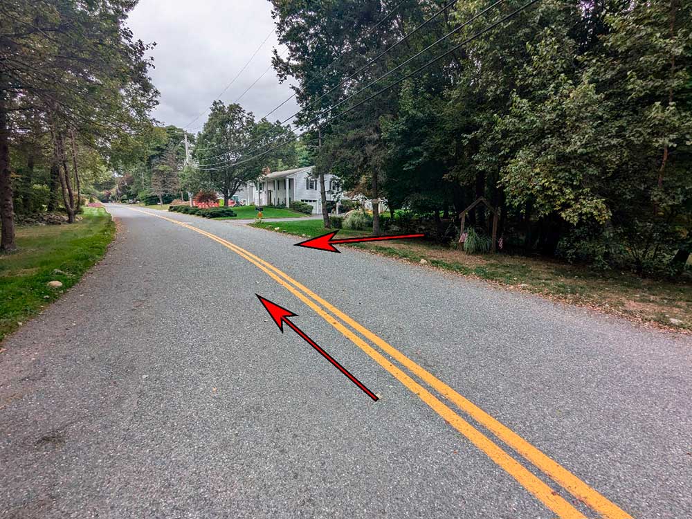
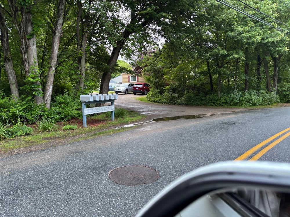
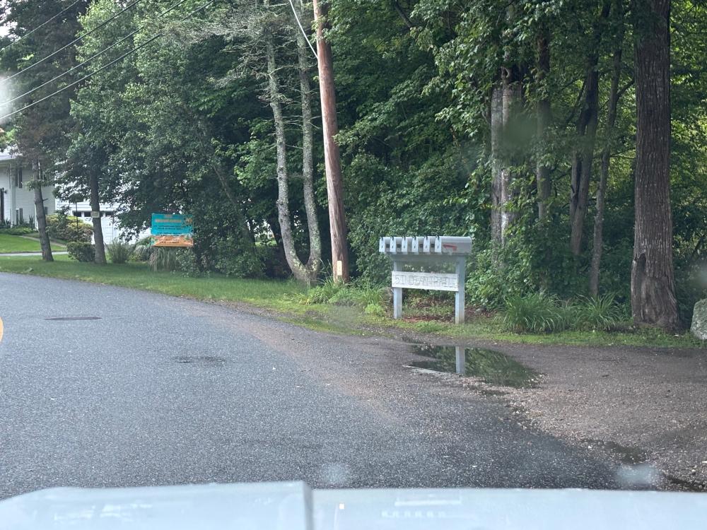
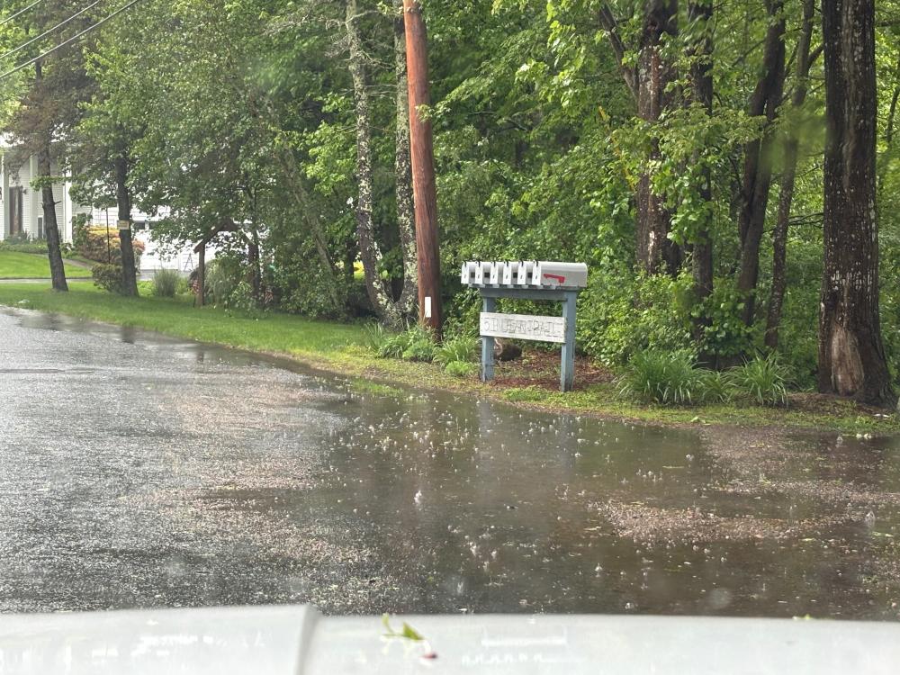
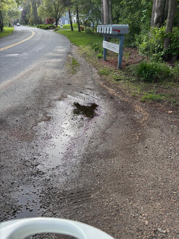
Site Description: This site is located in the Indian Trail neighborhood in northern Narragansett. The neighborhood is located on the eastern side of the Narrow River. This area often experiences flooding during heavy rainstorms and stormwater flows directly into the Narrow River. During heavy rainstorms, stormwater flowing from Route 1A and the nearby pond will overflow into Indian Trail. This is the upstream most location within the neighborhood where stormwater begins to contribute to the downstream flooding that occurs at the neighborhood beach. Your uploaded videos and photos will assist with both current maintenance efforts and provide valuable information for planners, engineers, and contractors as they develop future designs and plans.
Photo-Video Tips: To document the stormwater flow, stand near the unnamed pond on Indian Trail Road. With your phone, capture footage of stormwater running out of the pond area down the roadway on Indian Trail.
Observation on 6/7/2025: 8:00pm -
How recently did it rain: Within the last hour
How heavy was that rain: Light Shower
Is anything preventing water from flowing into the system (e.g., debris, trash, vegetation): Unknown
Is there standing water in the system: Unknown
Observation on 5/22/2025: 6:00pm -
How recently did it rain: Raining at the time
How heavy was that rain: Moderate Rain
Is anything preventing water from flowing into the system (e.g., debris, trash, vegetation): Unknown
Is there standing water in the system: No
Observation on 5/15/2025: 6:00pm -
How recently did it rain: Within the last hour
How heavy was that rain: Moderate Rain
Is anything preventing water from flowing into the system (e.g., debris, trash, vegetation): No
Is there standing water in the system: No
Observation on 4/26/2025: 12:16pm -
How recently did it rain: Raining at the time
How heavy was that rain: Moderate Rain
Is anything preventing water from flowing into the system (e.g., debris, trash, vegetation): No
Is there standing water in the system: No
Notes/Comments:
rain started approximately 0528. heavy downpours at 0938. Pond is not overflowing.
Observation on 3/24/2025: 12:38am -
How recently did it rain: Raining at the time
How heavy was that rain: Light Shower
Is anything preventing water from flowing into the system (e.g., debris, trash, vegetation): Yes
Is there standing water in the system: Yes